


Digital Collection
Picardie Administration's maps, 18th cent.
![[img]](http://www.michael-culture.org/20475/1/img1v.jpg)
 Preview |
Document title
Plan en coupe du château d’eau d’Amiens, 1751
![[img]](http://www.michael-culture.org/20475/2/img2v.jpg)
 Preview |
Document title
Dessin de la façade de la halle au blé d’Amiens, 1781
![[img]](http://www.michael-culture.org/20475/3/img3v.jpg)
 Preview |
Document title
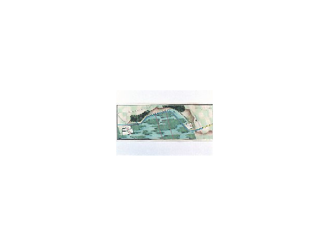
Tracé du canal de la Somme, 1776
Actions (login required)
 |
View Item |


