


Digital Collection
Napoleonic cadastre, updated maps and land consolidation maps: Ardèche, 19th-20th cent.
![[img]](http://www.michael-culture.org/20087/1/Plan_Aubenas_PE.jpg)
 Preview |
Document title
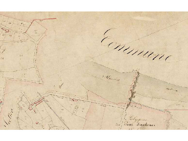
Plan d'Aubenas (détail).
![[img]](http://www.michael-culture.org/20087/2/vallonptdarc.jpg)
 Preview |
Document title
Plan de Vallon-Pont-d'Arc, 1825
![[img]](http://www.michael-culture.org/20087/3/Payzac.jpg)
 Preview |
Document title
Plan de Payzac, 1809
Actions (login required)
 |
View Item |


