


Digital Collection
Napoleonic cadastre and maps: Toulouse (Haute-Garonne), 17th-20th cent.
![[img]](http://www.michael-culture.org/20621/1/img1v.jpg)
 Preview |
Document title
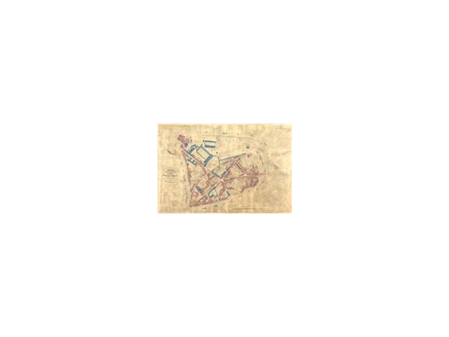
27 Fi 85, plan cadastral du centre ville, Arsenal et Embouchure, 1830.
![[img]](http://www.michael-culture.org/20621/2/img2v.jpg)
 Preview |
Document title
29 Fi 93, plan d'occupation des sols, quartier des Carmes, 1976.
![[img]](http://www.michael-culture.org/20621/3/img3v.jpg)
 Preview |
Document title
35 Fi 80, plan aéro photo topographique, Saint-Cyprien Fer à cheval, 1948.
Actions (login required)
 |
View Item |


