


Digital Collection
Town planning maps and architectural plans of Angers (Maine-et-Loire), 18th-20th cent.
![[img]](http://www.michael-culture.org/20481/1/img1v.jpg)
 Preview |
Document title
Ville d'Angers, projet d'une école communale de filles et de garçons, rue Bodinier. Coupe longitudinale par l'architecte-ingénieur Demoget, 15 décembre 1872, dessin aquarellé (1 Fi 702)
![[img]](http://www.michael-culture.org/20481/2/img2v.jpg)
 Preview |
Document title
Montée Saint-Maurice, projet d'aménagement par Regnault, 1942, dessin aquarellé (1 Fi 1541)
![[img]](http://www.michael-culture.org/20481/3/img3v.jpg)
 Preview |
Document title
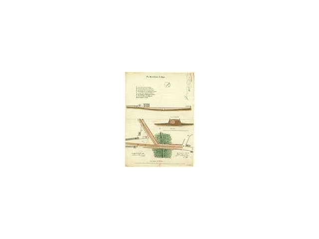
Pont de la Chalouère, plan coupe et élévation par Binet, 11 décembre 1812, dessin aquarellé (1 Fi 2359)
Actions (login required)
 |
View Item |


