


Digital Collection
Land register maps of the Sarthe
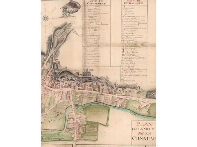
![[img]](http://www.michael-culture.org/20988/1/plan_terrPE1.jpg)
 Preview |
Document title
Plan terrier de la commune de la Chartre sur le Loir, plan du XVIIIe, cote E 314 7.
![[img]](http://www.michael-culture.org/20988/2/plan_terrPE2.jpg)
 Preview |
Document title
Plan terrier de la commune de Cures, plan du XVIIIe, cote E 316 28.
Actions (login required)
 |
View Item |


