


Digital Collection
Napoleonic cadastre and revised maps: Sarthe, 19th-20th cent.
![[img]](http://www.michael-culture.org/20366/1/cadastrePE1.jpg)
 Preview |
Document title
Cadastre de Cherisay, plan napoléonien section B1, cote PC/080/003.
![[img]](http://www.michael-culture.org/20366/2/cadastrePE2.jpg)
 Preview |
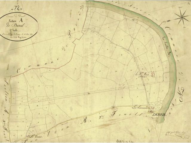
Document title
Cadastre de Dureil, plan napoléonien section A 1827, cote PC/124/002.
Actions (login required)
 |
View Item |


