


Digital Collection
Old maps and plans of Orleans and its region
![[img]](http://www.michael-culture.org/20081/1/BM_Orleans_plan.jpg)
 Preview |
Document title
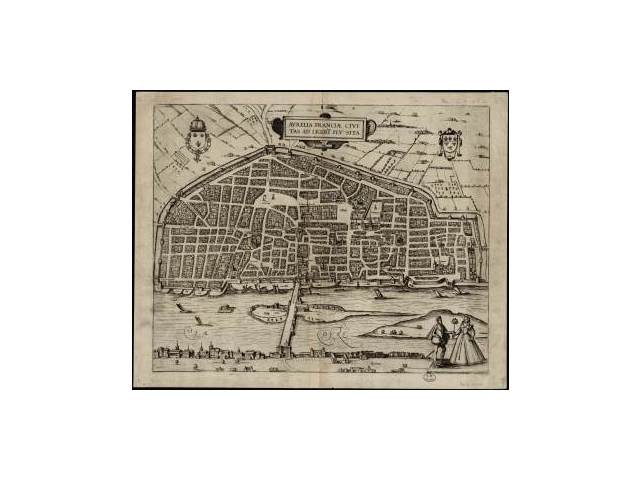
Plan de la ville d'Orléans, Aurelia Franciae civitas ad Ligeri flu, situ, 1581
![[img]](http://www.michael-culture.org/20081/2/BM_Orleans_plan2.jpg)
 Preview |
Document title
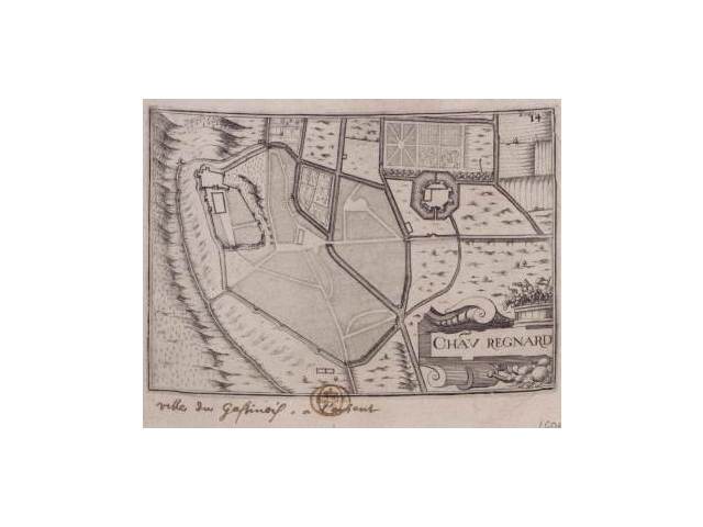
Plan de Châteaurenard, 1600-1649
![[img]](http://www.michael-culture.org/20081/3/BM_Orleans_plan3.jpg)
 Preview |
Document title
Carte de Cassini : Orléans, Montargis, Pithiviers, 1744
Actions (login required)
 |
View Item |


