


Digital Collection
Napoleonic cadastre and maps: Orléans (Loiret), 18th-20th cent.
![[img]](http://www.michael-culture.org/19761/1/img1v.jpg)
 Preview |
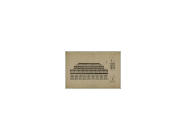
Document title
Salle des fêtes halle ST Louis -1FI-1_66
![[img]](http://www.michael-culture.org/19761/2/img2v.jpg)
 Preview |
Document title
Façade de la maison n° 2 du sieur Lorion Le Vassor -1FI-52
![[img]](http://www.michael-culture.org/19761/3/img3v.jpg)
 Preview |
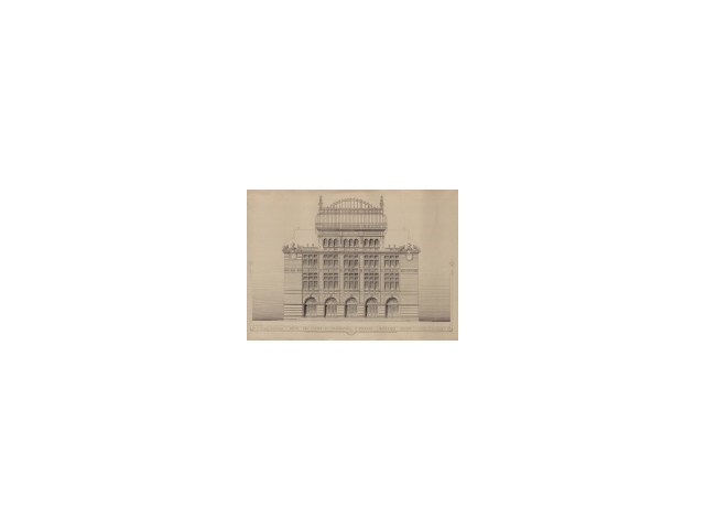
Document title
Hôtel des postes et télégraphes d'Orléans -1FI-59_01
Actions (login required)
 |
View Item |


